 After many years of not exhibiting, I decided to share some of the work that I have done in the past 10 years. The theme is Amsterdam, city which has fully seduced me with its magnificent history, still visible in the map and architecture.
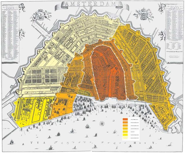
A wonderful book by Bouderwijn Bakker and Erik Schmitz about The Sight of Amsterdam: panoramas, maps and profiles from the Golden Age has served as rich inspiration. One map by Nicolaes Visscher from 1664 shows the growing city as well as the many churches and buildings of the period. You can find some images in the papers by Erik Schmitz here. Below a map showing the city changing at the turn of the 1500-1600s. Based on the book by Erik Schmitz, I worked on a series about the changes in the city mostly between 1500s and into the 1600s. You can see my rendering of the city at the Love Story: Amstel and IJ series.
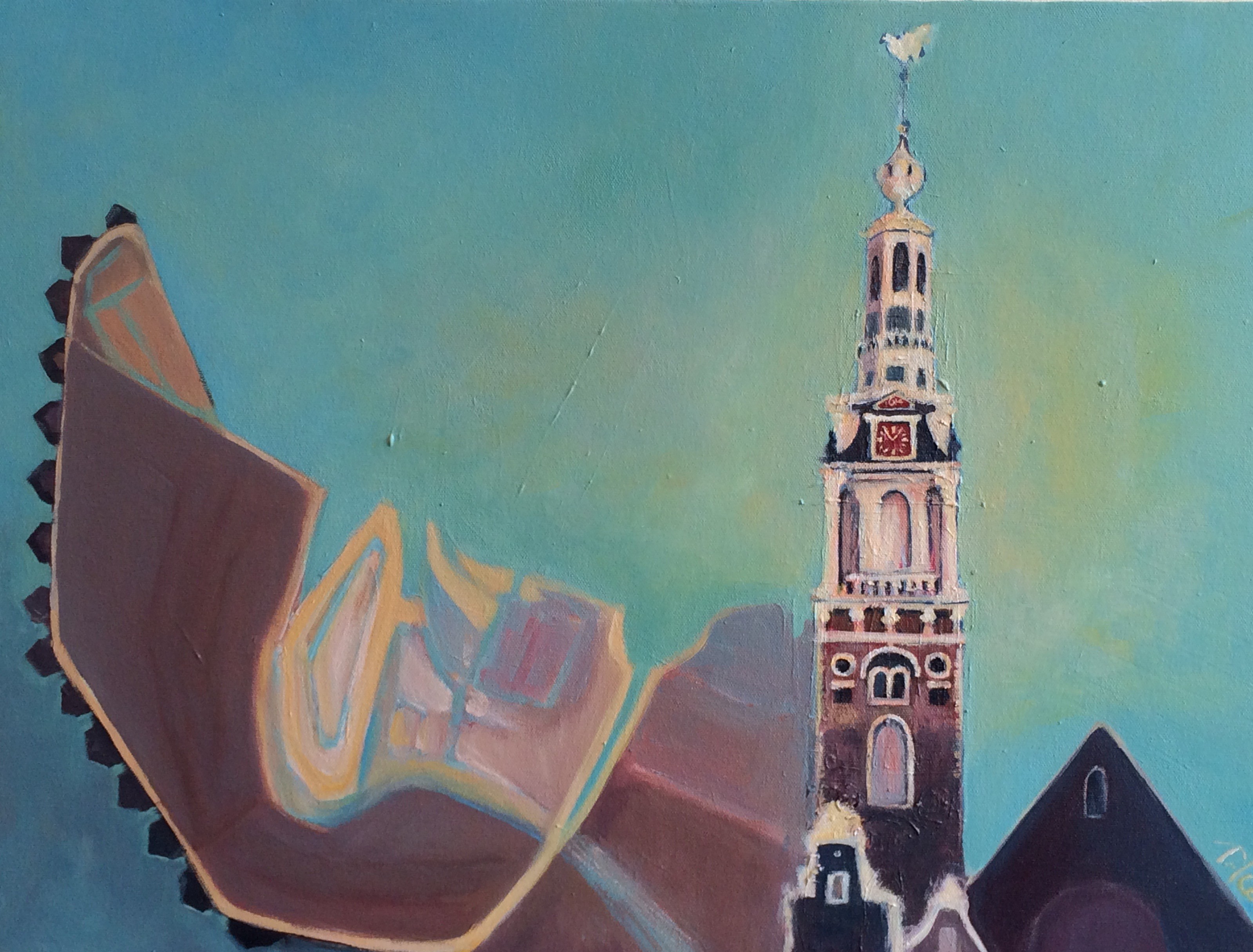
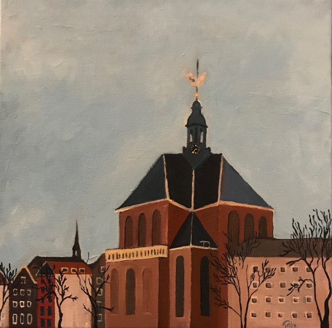
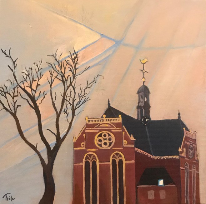
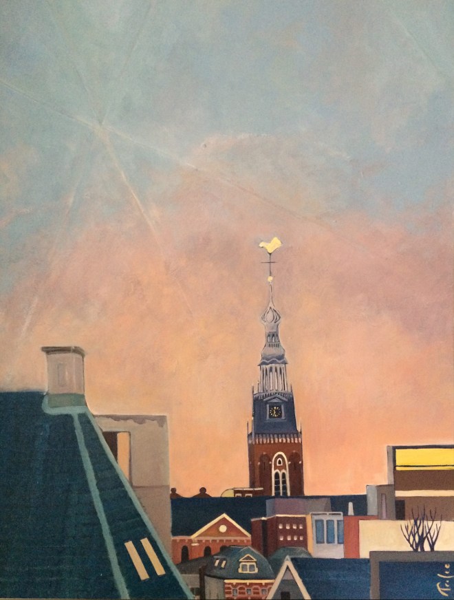
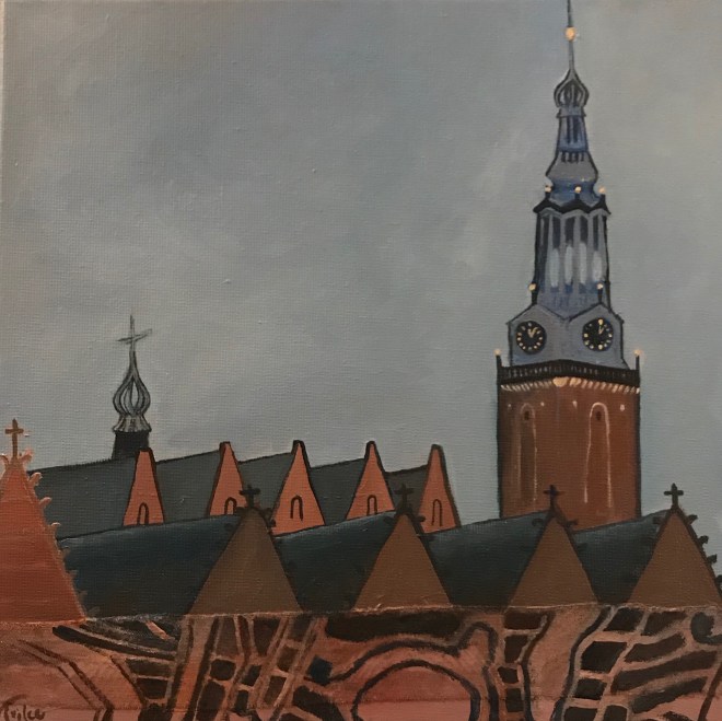
Amsterdam has a church for each cardinal point, so that there is a Noorderkerk, a Zuiderkerk, a Westerkerk (not painted), and Oosterkerk. Below the the North and East. You can see the entire series of the Church and the City.
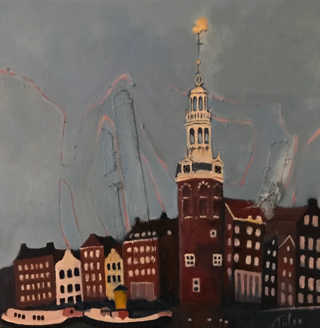
I also painted the Montelbaanstoren and the oldest standing church, called Old Church or Oude Kerk. Though little is visible from the original 1200 wooden chapel, the current stone building from 1300s is just gorgeous, even with all the adaptations throughout the years. The Oude Kerk served as city archive, where a vault with two keys safeguard the most important documents of the city. The original wooden vault is currently exhibited at the Amsterdam City Archives.
The exhibit took place from 7 December 2018 to 6 January 2019 at Connie Bos | A Foundation for Public Art in Zwanenburgwal 178 in Amsterdam. Opening festivities included a presentation by Bert Spaan, who uses digital tools to highlight the changes in the locations, as new streets, buildings, canals or train stations come about. You can play with the maps Bert Spaan presented, here a few links:
- Bert Spaan’s slides: http://bertspaan.nl/talks/trilce
- Map of all buildings in the Netherlands: http://code.waag.org/buildings/
- Farm land map: http://code.waag.org/mansholt/
- Old maps of Amsterdam: https://tiles.amsterdamtimemachine.nl
- Old maps of the Netherlands: http://www.topotijdreis.nl/
- More maps: https://www.davidrumsey.com/
- Actueel Hoogtebestand: https://ahn.arcgisonline.nl/ahnviewer/
- Street patterns: http://maptime-ams.github.io/street-patterns/
For the closing festivities, Erik Schmitz gave a rich overview of the changes in Amsterdam while discussing the role of maps. He argued that maps can be (1) a visual representation of a location to complement a contract; (2) a conceptualisation of our personal surroundings and hence a reflection on our values; (3) a portrait of a place as artistic expression.
Schmitz characterised my work as an artistic map, where I do focus on the area of the city where I have lived in, taking strong artistic liberties on what to highlight -or chose to exclude from the representation, curiously mixing past and present to achieve visual harmony.
Vernissage and finissage of the Amstel and IJ exhibit enjoyed the live performance of Two Hearts Bleeding, among others with the number ‘Dutch mountains’.
A blog entry will follow on the reflection of my experience as gallerist.
